
Deutsche Version weiter unten, hier klicken.
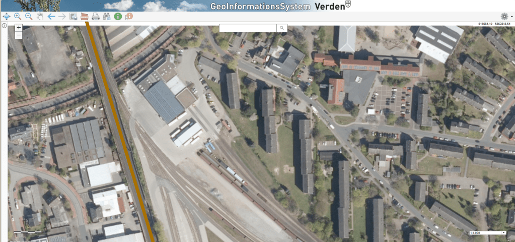
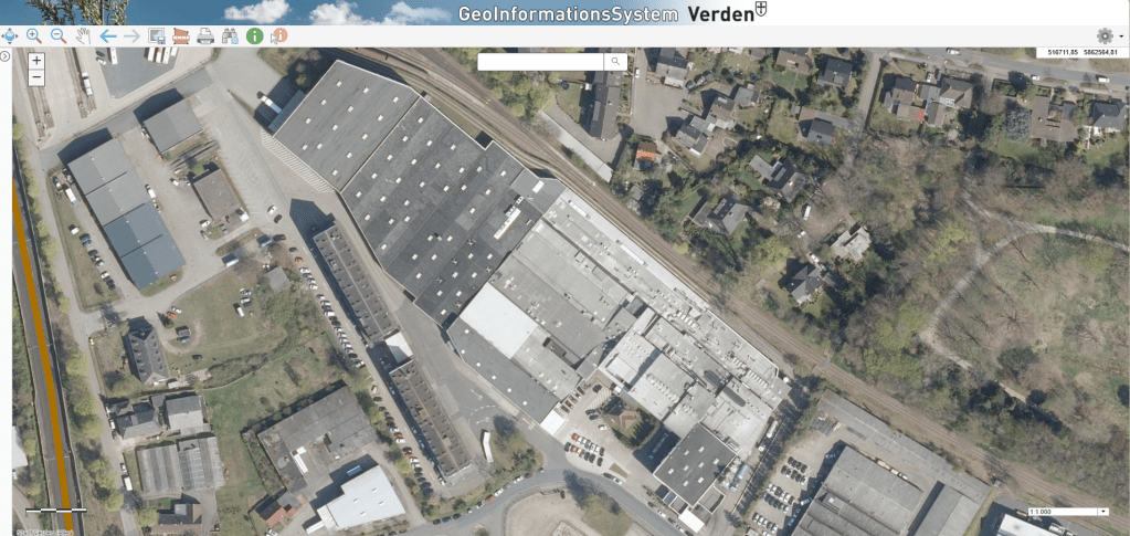
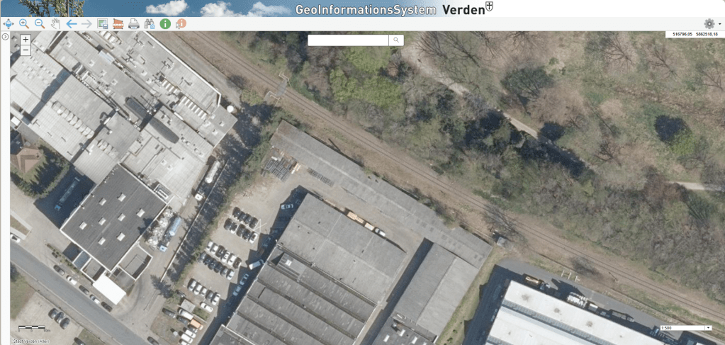
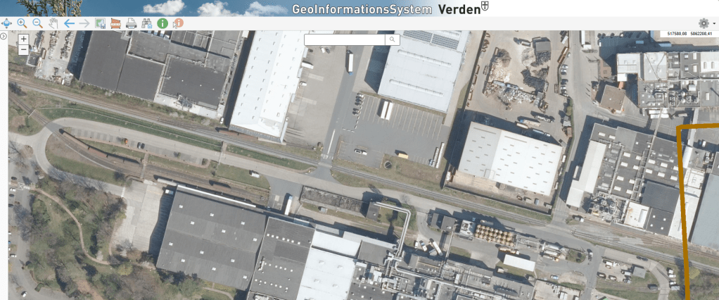
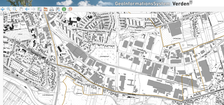
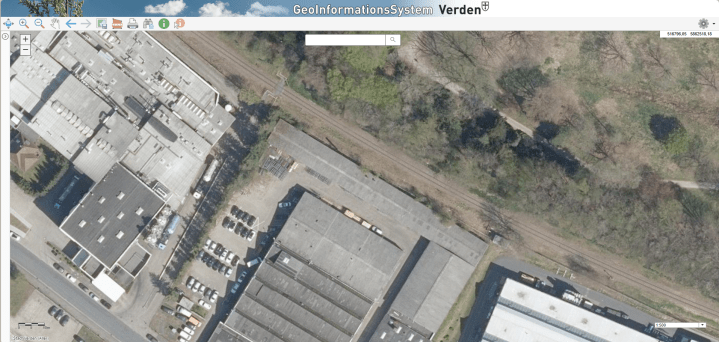
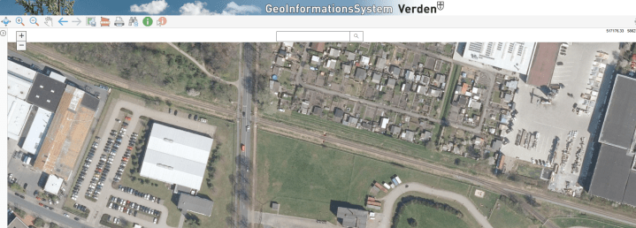
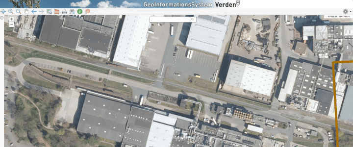
One of the most useful resources for planning my VWE modules is the public GIS (Geographic Information System) portal provided by the City of Verden (Aller). Instead of relying solely on Google Maps or Google Earth, I can now work with much sharper aerial imagery, which can be viewed at scales down to 1:100, together with a wide range of additional geospatial data.
The high-resolution imagery makes it much easier to verify important details of the prototype that I want to capture on each module, resulting in more accurate track planning and scenery. Google Earth still remains a valuable reference, however, as its historical imagery allows me to follow changes to the area back to 2008.
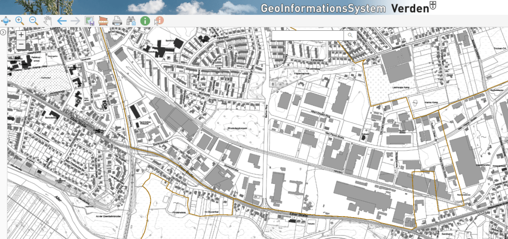
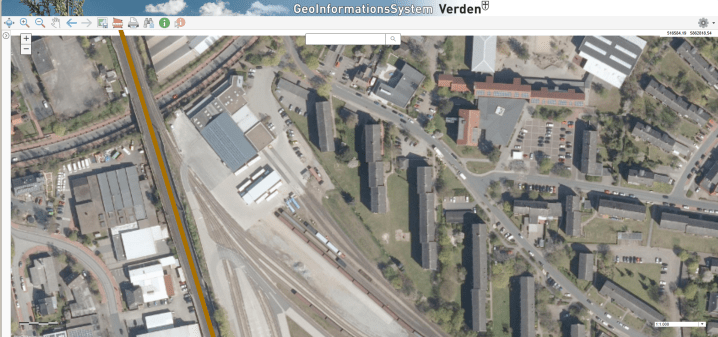
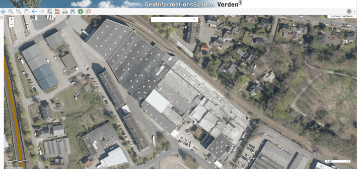
Combined with the photographs I took during my site visit in June 2026, these GIS images provide an excellent foundation for understanding the present-day geography, surviving structures and distances around the railway. Historical photographs and plans still have to tell me what was actually there during the period I want to model.

DEUTSCHE VERSION
Präzisere Planung der VWE-Module mit GIS-Luftbildern und Geodaten
Bei der Planung meiner VWE-Module hat sich das öffentliche Geoinformationssystem (GIS) der Stadt Verden (Aller) als äußerst hilfreiche Quelle erwiesen. Dort kann ich wesentlich schärfere Luftbilder bis zu einem Darstellungsmaßstab von 1:100 sowie zahlreiche weitere Geodaten nutzen.
Die deutlich höhere Bildqualität erleichtert es, wichtige Details des Vorbilds zu erkennen und zu überprüfen, die ich auf meinen Modulen nachbilden möchte. Dadurch lassen sich sowohl der Gleisverlauf als auch die Landschaft wesentlich genauer planen. Google Earth bleibt dennoch eine wertvolle Ergänzung, da ich dort anhand historischer Luft- und Satellitenbilder Veränderungen in diesem Bereich bis zurück ins Jahr 2008 nachvollziehen kann.
Zusammen mit den Fotos meiner Vorbildbegehung im Juni 2026 bilden die GIS-Luftbilder eine hervorragende Grundlage, um die heutige Topografie, erhaltene Gebäude und die räumlichen Verhältnisse entlang der Strecke besser zu verstehen. Was davon in meinem dargestellten Zeitraum tatsächlich vorhanden war, muss ich weiterhin anhand historischer Fotos und Gleispläne überprüfen.
 FREMO:160 by traiNmaster